

Description
The Iceland Map is out of stock.
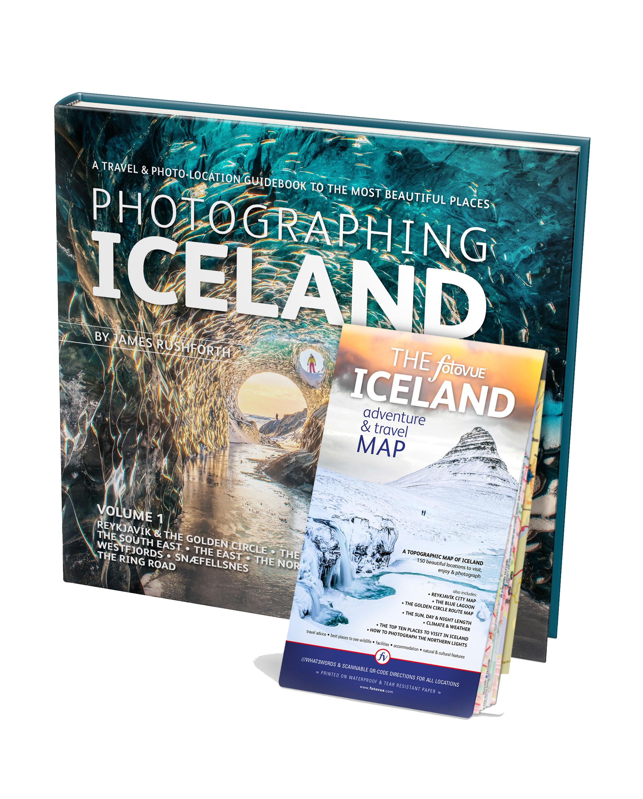
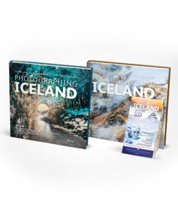
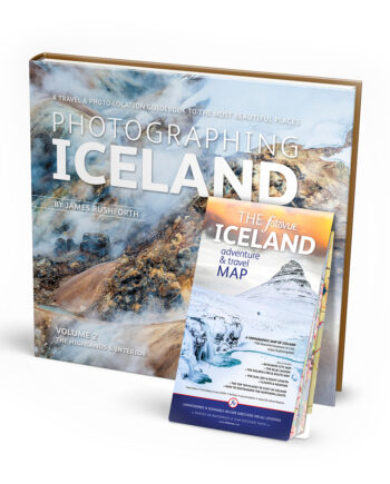
The most comprehensive and detailed guidebook to Iceland ever published. Over 120 locations are described from roadside attractions, all the most beautiful places on the ring road are covered, to multi-day overnight hikes; covering glaciers, waterfalls, geysers, hot springs, lava fields, craters, volcanoes, mountains, coast, beaches and cliffs, towns, churches, cultural sites, harbours and wildlife from Arctic fox to orcas, puffins, seals, reindeer and the famed Icelandic horse. Detailed maps, directions, ///what3words and scannable lat-long QR-codes.
Over 1000 beautiful photographs • Over 120 locations, 800 viewpoints • Detailed maps, sat-nav co-ordinates including what3words and smart phone scannable lat-long QR-codes • Accommodation • Icelandic weather, climate and when to visit • Itineraries and classic locations • Car rental, vehicle insurance and driving advice • Essays on Iceland’s cultural history, cuisine, flora & fauna • How to photograph the Aurora Borealis / Northern Lights
THE SOUTH WEST including Reykjavík, The Golden Circle, the Blue Lagoon, Þingvellir National Park and the Reykanes peninsula.
THE SOUTH COAST featuring the Westman Islands, Seljalandsfoss & Gljúfrabúi waterfalls, Skógafoss waterfall, Reynisfjara Beach, Reynisdrangar sea stack, Vík í Mýrdal village and Fjaðrárgljúfur canyon.
THE SOUTH EAST explore the Vatnajökull ice cap and national park, Skaftafell Park & Svartifoss waterfall, Fjallsárlón & Jökulsárlón glacial lakes, Breiðamerkursandur / Diamond Ice Beach, Stokksnes beach & Mount Vestrahorn
THE EAST visit Seyðisfjörður village, Egilsstaðir town, the fjords, canyons, craggy mountains, remote villages and a beautiful coastline.
THE NORTH including the Langanes Peninsula, Heimskautsgerðið / The Arctic Henge, Jökulsárgljúfur, Víti crater, Hverir / Hverarönd hot springs & Mount Námafjal, Mývatn, Grímsey Island, Goðafoss waterfall, Akureyri and the Tröllaskagi Peninsula
WESTFJORDS Ísafjörður and the remote fjords and coastline, including the Hornstrandir nature reserve home to arctic foxes.
THE WEST & SNÆFELLSNES home to Orca & whale watching, Snæfellsjökull volcano towers, Kirkjufell mountain, the Lóndrangar sea stack & Beserkjahraun lava field
THE RING ROAD All you need to embark and enjoy this 1693km/1051mile circular route around Iceland.
Reviews
There are no reviews yet.